OUR B2B DRONE SERVICES
Hiring a drone pilot means more than taking photos and videos from above. Learn about our range of B2B services tailored to meet your business needs.
Solar Thermography
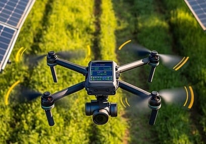
Drones are a natural fit for solar thermography: from reduced costs and inspection times to cataloged historical data, wide range of detected faults and data granularity for all kinds of purposes.

Industrial Inspections


Survey Services

Aerial Photogrammetry
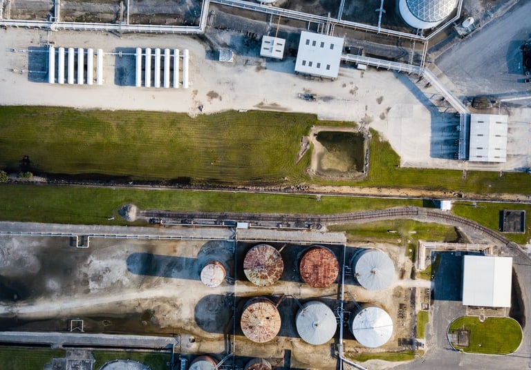
Thorough and precise inspections of industrial sites using advanced drone technology for enhanced safety.
From monitoring construction sites to inspecting infrastructures, tracking progress and damage investigation, having a view from above really helps getting the big picture.
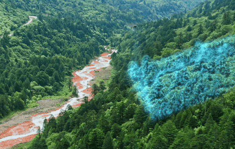
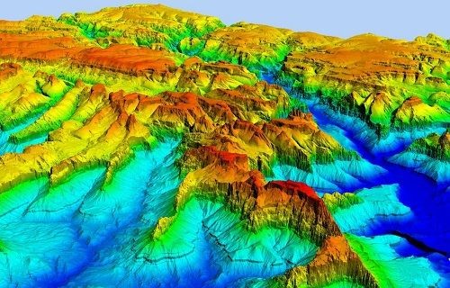
Drone aerophotogrammetry is utilized in various fields, including cartography, geology, archaeology, hydrographic surveying, pollution monitoring, and assessing vegetation health.
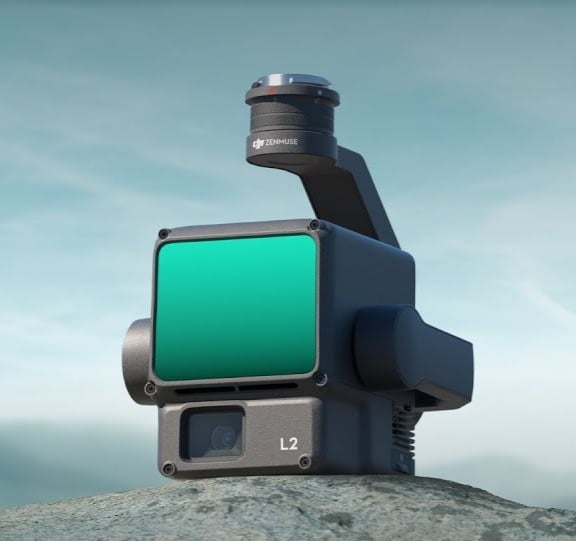
Lidar's main applications include topographic surveys, infrastructure modeling, electrical transmission line inspections, and engineering design, offering high accuracy and efficiency, providing quick and detailed topographic data.
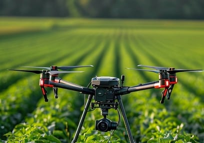
Drones have shown to be great allies in many agricultural endeavours, from precision farming to irrigation, crop inspections, pest control and more.

Agricultural Use
What is LiDAR?
LiDAR stands for Light Detection and Ranging, a remote sensing technique that uses light—in the form of pulsed laser—to measure distances precisely from the ground or, more generally, from areas or infrastructures being surveyed.
One of the most notable advantages of Lidar systems over other remote sensing techniques is their ability to penetrate vegetation, allowing laser pulses to reach the ground.
The reflections of these pulses are captured by the Lidar system, producing datasets that, when processed correctly, enable the creation of digital surface models (DSM) and, more importantly, digital terrain models (DTM) with centimeter-level accuracy.

Main Applications


LiDAR Surveys on Electrical Transmission Lines
LiDAR technology applied to drones (more correctly referred to as RPAS—Remotely Piloted Aircraft Systems) makes the management and analysis of transmission lines more efficient and faster than conventional remote sensing methods. In a single pass, our LiDAR systems can survey power lines, electrical installations, vegetation, and any ground structures, significantly improving inspection efficiency compared to traditional methods.
Topographic Surveys with Lidar
A major feature of LiDAR surveys is the ability of laser pulses to penetrate vegetation, effectively surveying the ground below. In the broad context of remote sensing techniques, Lidar allows for the creation of DTMs even in forested areas where photogrammetric methods would be ineffective.


LiDAR Surveys for Accurate Infrastructure Modeling
For surveying physical infrastructures (such as a railway bridge), achieving the highest possible accuracy is strategically important. Modeling structures, even from a BIM (Building Information Modeling) perspective, can be operationally complex, costly, and relatively slow when survey activities are conducted near active assets. The versatility of our drones equipped with LiDAR systems allows for close-range remote sensing activities even in hard-to-reach infrastructures, which might be inaccessible to conventional aircraft.
Engineering Design
3D LiDAR mapping has become highly valuable in the construction industry because it provides a wealth of data while reducing costs. Whether creating a digital terrain model (DTM), a digital surface model (DSM), or a digital elevation model (DEM), construction companies and civil engineers are using UAV LiDAR for various projects. The point clouds produced by UAV Lidar can be used to create BIM models that support real-time construction quality control and decision-making processes.
Modeling of Flood-Prone Areas
Hydrogeological instability is a critical issue in our country: the use of LiDAR technology allows for the quick and easy acquisition of topographic and altimetric datasets of potentially at-risk areas.
Let's Talk.
Albatross Drones
Creative and B2B drone solutions in Milan.
About
Contact
info@albatrossdrones.com
+39-333-9659041
© 2024. All rights reserved.
14, Via Pellizza da Volpedo, Milano (MI), 20149, IT
